
Blue Marble Geographics, USA
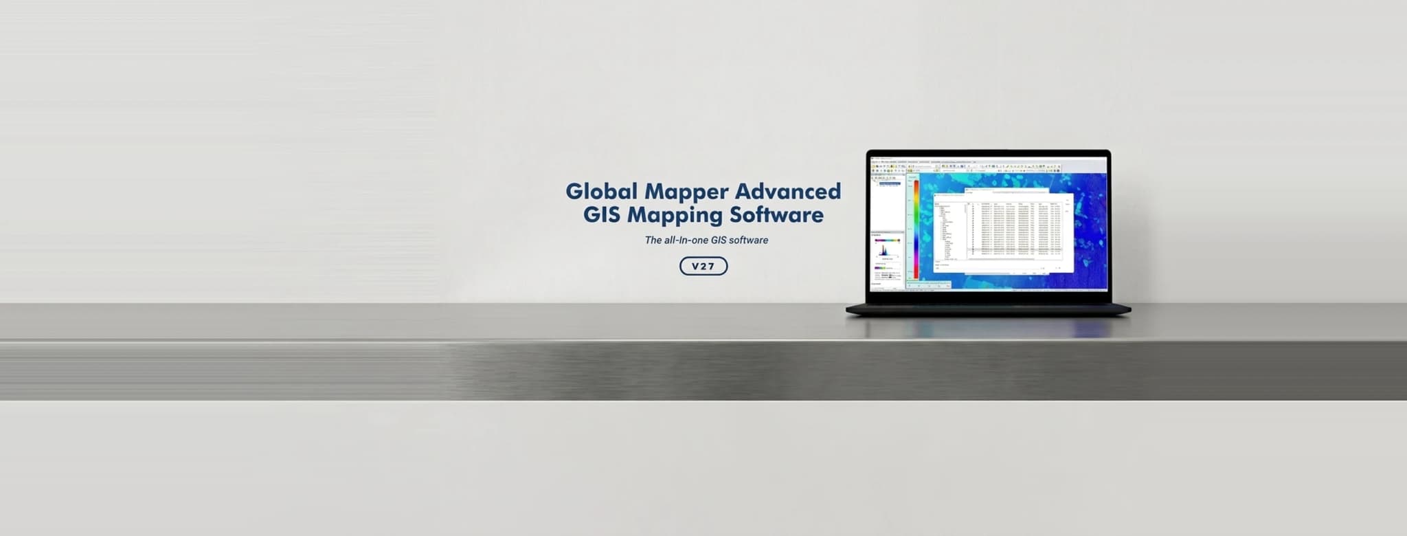
Global Mapper
An all-in-one GIS package that handles more than 300 spatial data formats, with terrain analysis, lidar processing and drone imagery workflows in a single application.
Enquire about Global Mapper
Exclusive India partner of Blue Marble Geographics
More than 1,000 clients served
300+ supported data formats
Pixels to Points drone imagery processing in Pro
One application for the whole geospatial workflow
Schnell Drone Technologies Ltd. is the exclusive India partner of Blue Marble Geographics, USA, and has served more than 1,000 clients with Global Mapper licensing, training and support.
Global Mapper is a cutting-edge GIS application providing a comprehensive array of spatial data processing tools, with access to an unrivalled variety of data formats. It is designed to serve both the GIS professional and the engineer who needs geospatial capability without a specialist toolchain.
- Licensed, trained and supported in India by Schnell's own survey engineers
- Handles drone imagery, lidar, terrain and vector data in one workspace
- Scales from a single desktop seat to a department-wide deployment
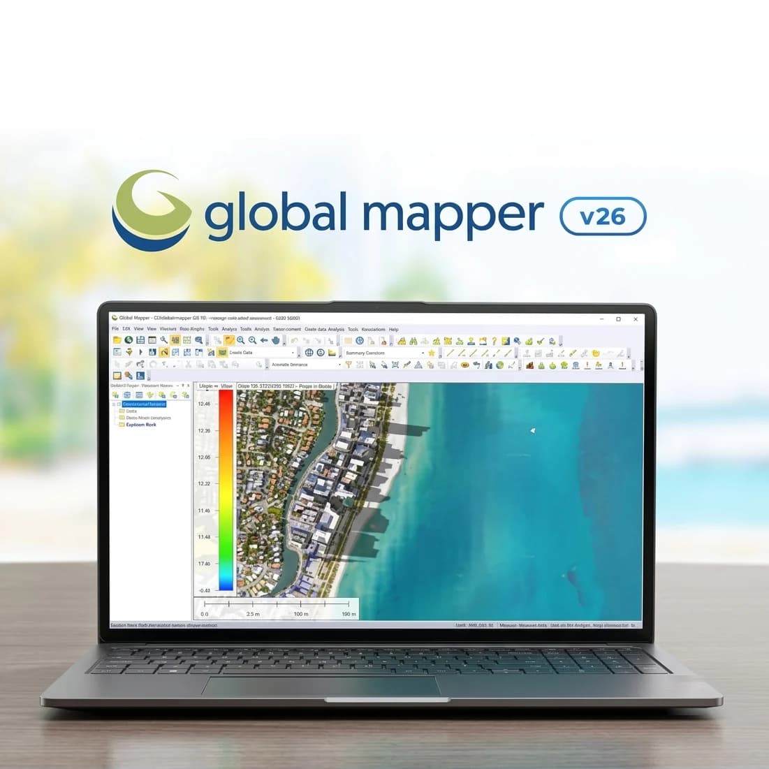
Major features
Data handling
- Import and export across 300+ spatial data formats
- Online data access including WMS sources, NED and SRTM databases
- Raster data processing and analysis
- Image rectification and georeferencing
Analysis
- Terrain analysis, viewsheds and watershed delineation
- Vector operations and digitising tools
- Lidar display, filtering and classification
- Geocoding and GPS tracking
Output
- 3D data support and visualisation
- Map layout and printing
- Web publishing of map data
- Scripting for repeatable batch workflows
Standard vs Pro
Global Mapper Pro adds the advanced point cloud and drone processing capability required for photogrammetric survey work.
| Capability | Global Mapper | Global Mapper Pro |
|---|---|---|
| Vector operations and editing | Included | Included |
| Terrain and elevation analysis | Included | Included |
| Lidar display and basic tools | Included | Advanced point cloud processing |
| 3D visualisation | Included | Included |
| Scripting | Global Mapper script | Global Mapper script + Python |
| Pixels to Points® drone/UAV imagery processing | — | Included |
| RTK device support | — | Included |
Licensing Global Mapper
Send us your seat count and deployment details for a quotation, and ask about training and technical support in India.