RGB — true colour reference
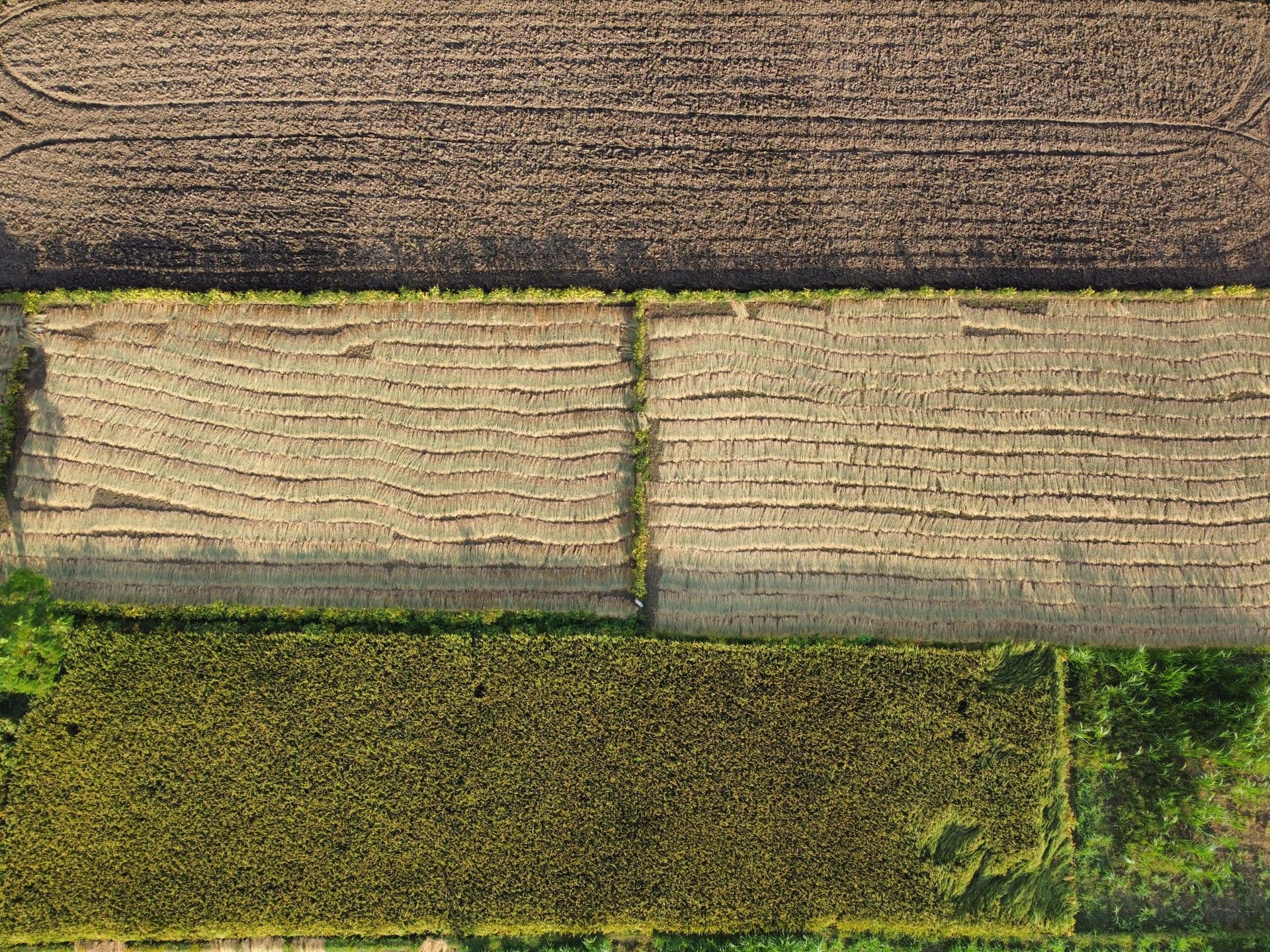
RGB sensors capture images by combining red, green and blue light at varying intensities, reproducing a wide spectrum of colours. This is the basis for high-resolution, colour-accurate imagery from an aerial perspective.

Drone-as-a-Service
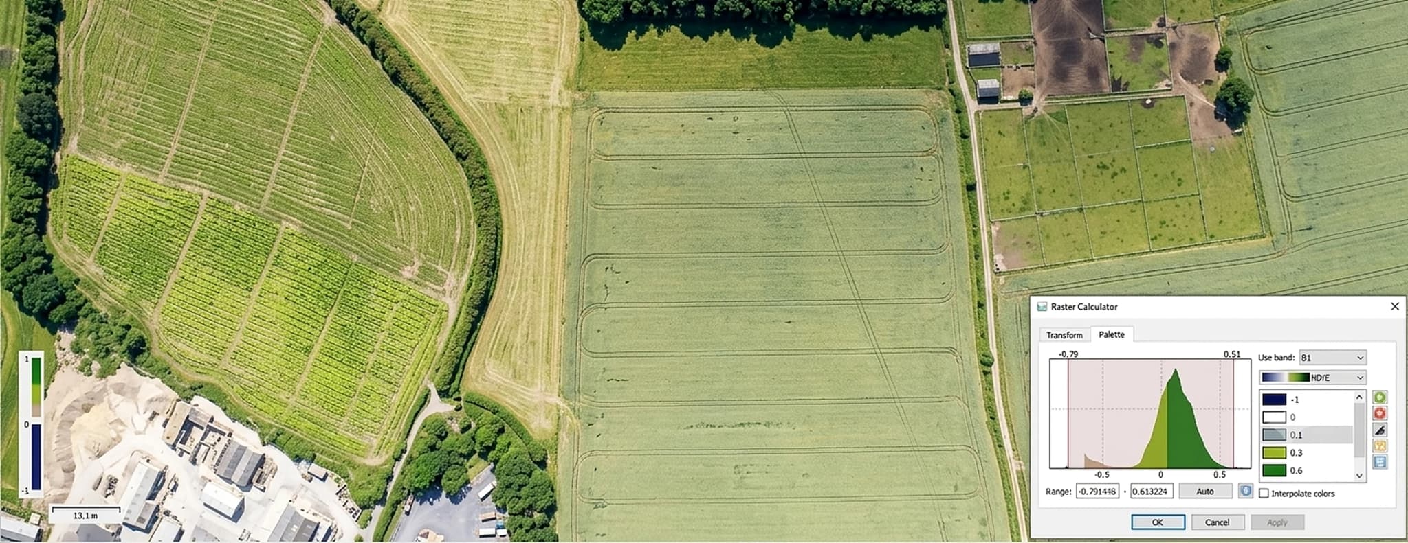
NDVI, NDRE, NDWI and GNDVI analytics from drone-mounted multispectral sensors — catching crop stress in the red edge band before it is visible to the eye, and turning it into an irrigation, nutrient or spray decision.
Red edge band catches stress before it is visible
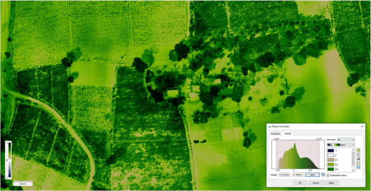
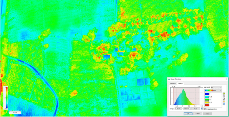
NDVI, NDRE, NDWI and GNDVI indices
Multiple acquisition and processing projects delivered
Actionable for irrigation, nutrients and pest control
Why multispectral
Drone-as-a-Service for multispectral mapping is a powerful solution for modern precision agriculture. By integrating drones equipped with multispectral sensors, GPS/RTK positioning, AI, GIS and cloud-based analytics, DaaS provides accurate, timely and actionable information about crop health and field conditions — helping farmers optimise irrigation, fertilizer use and pest management while reducing costs and improving yields.
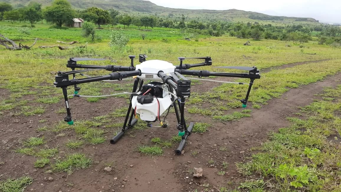
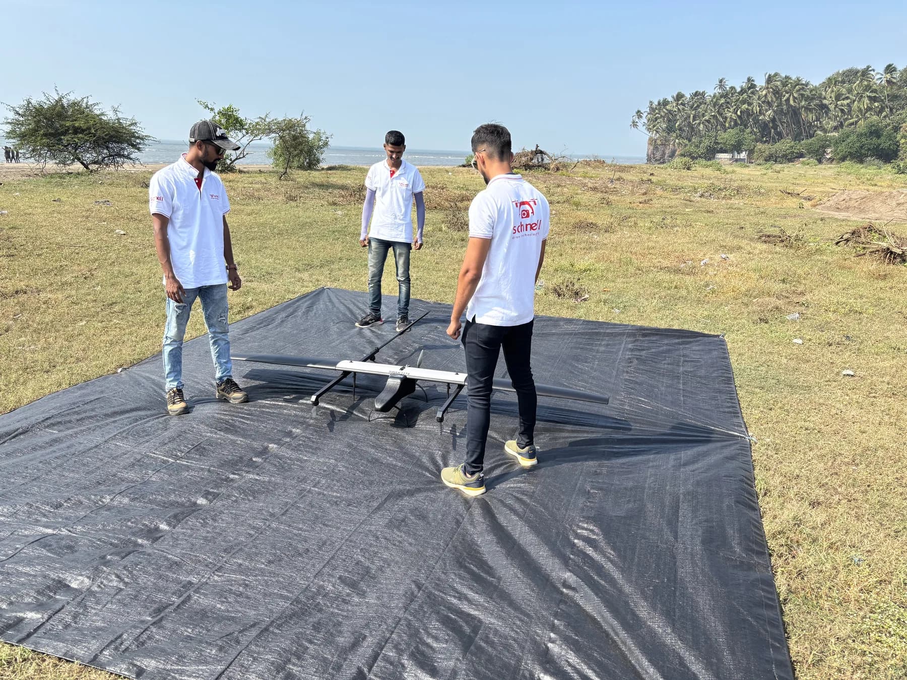
Multispectral imaging using drones is a niche segment in the agriculture domain, and Schnell Drone Technologies has carried out multiple data acquisition and multispectral data processing projects. India, primarily an agrarian economy, can rely on this technology to bring in the next revolution.
A standard visual sensor collects red, green and blue wavelengths of light. Multispectral sensors collect these visible wavelengths as well as wavelengths outside the visible spectrum, including near-infrared radiation (NIR) and short-wave infrared radiation (SWIR).
In the red edge band section of the spectrum, the first signs of stress can be identified — sometimes related to disease. Using analytics generated with the red edge band, farmers can identify, monitor and track disease-related stress, catching disease sooner and acting faster to stop it spreading. Indices such as NDVI, NDRE, NDWI and GNDVI are immensely helpful in early decision making to increase farm yield.
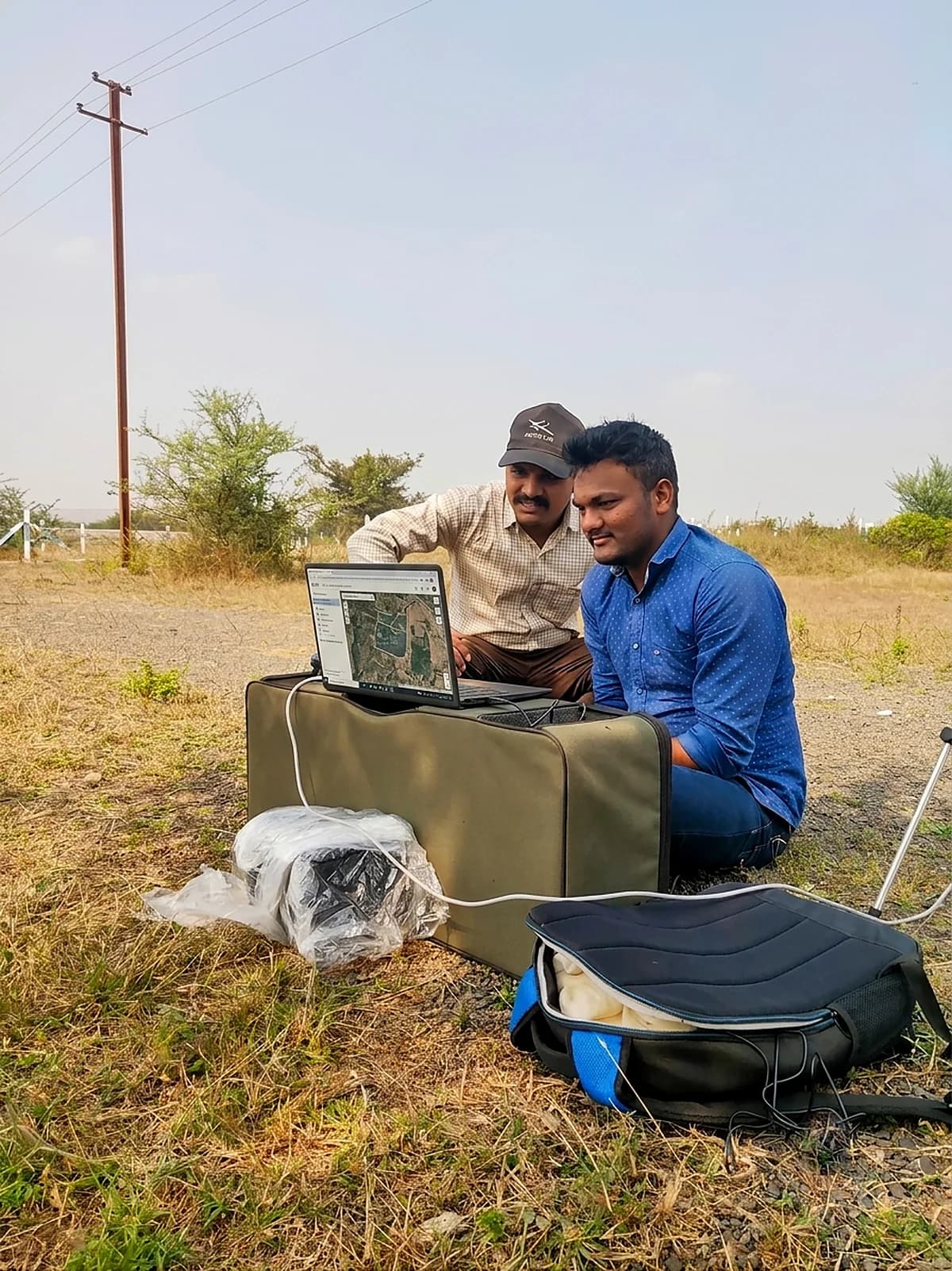
Index outputs
Each index isolates a different signal — chlorophyll density, water content, nitrogen uptake — from the same flight over the same plots.
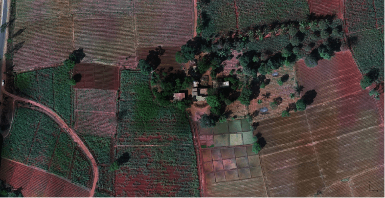
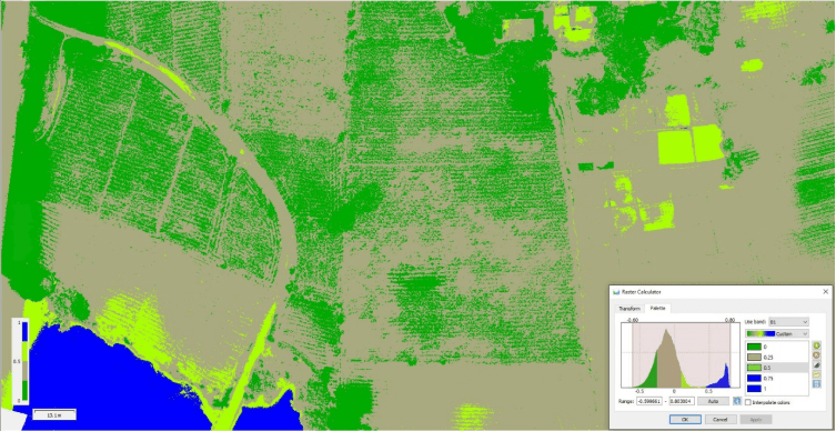
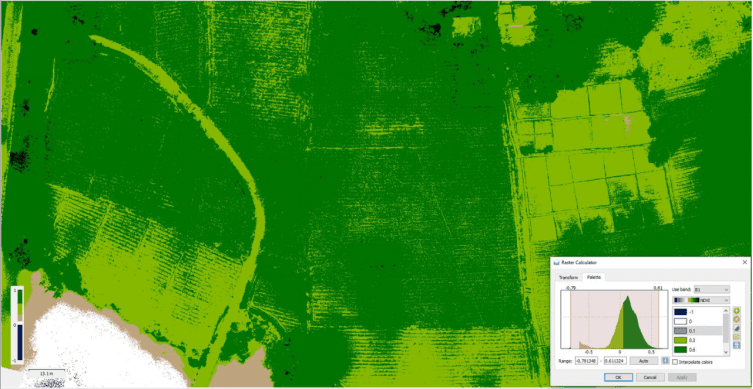
RGB sensors capture images by combining red, green and blue light at varying intensities, reproducing a wide spectrum of colours. This is the basis for high-resolution, colour-accurate imagery from an aerial perspective.
A widely used metric for quantifying the health and density of vegetation, calculated from spectrometric data at two specific bands: red and near-infrared.
A method of measuring the amount of chlorophyll in plants. NDRE is best applied mid-to-late in the growing season, when plants are mature and approaching harvest.
Strongly related to plant water content, and therefore a very good proxy for plant water stress. Derived from the near-infrared and short-wave infrared channels.
A vegetation index for estimating photosynthetic activity, commonly used to determine water and nitrogen uptake into the plant canopy.
Tell us the area, the timeline and the reporting you need, and we will scope the mission and the commercials.