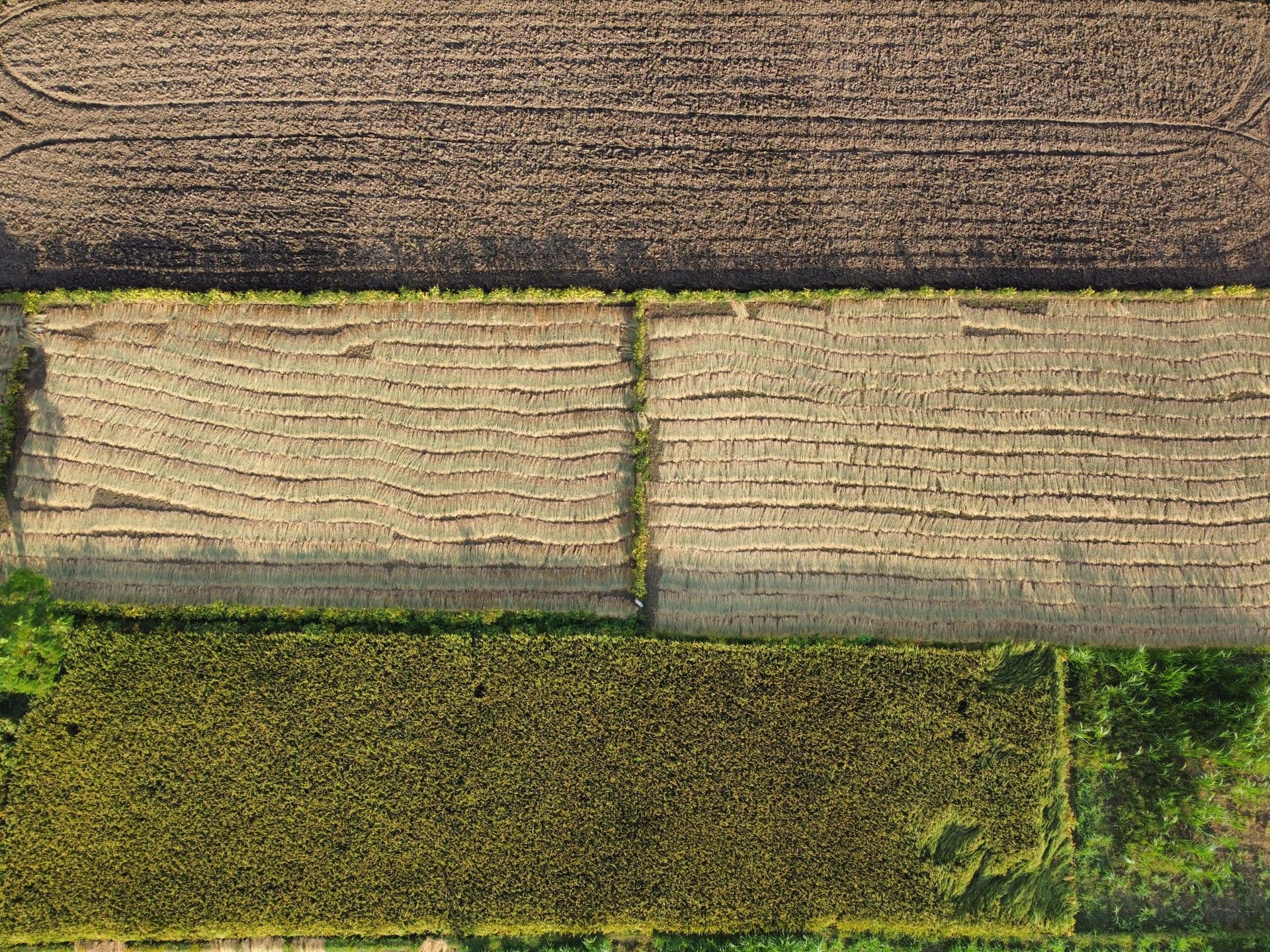
Ortho-rectified imagery
High-resolution orthomosaics suitable for digitisation of point, line and polygon features, legal proceedings and area inspection.

Agisoft LLC
Photogrammetric processing of drone imagery into ortho-rectified imagery, dense point clouds, digital elevation models and textured 3D models.
Industry standard photogrammetric processing
ORI, dense point cloud, DEM, DTM and DSM output
Used across Schnell's own survey projects
Professional and Standard editions available
The pipeline
Agisoft Metashape performs photogrammetric processing of digital images and generates 3D spatial data for use in GIS applications, cultural heritage documentation, visual effects production, and indirect measurement of objects at any scale.
It is the software behind much of Schnell's own data processing: drone images taken from multiple vantage points are processed into ortho-rectified imagery, dense point clouds and elevation models that feed downstream analysis.
The drone flies a planned grid so every point on the ground appears in several frames from different vantage points.
Overlapping imagery
Metashape matches common features across the frames to solve each camera's position and orientation, and builds a sparse tie-point cloud.
Camera positions
Depth is computed across the aligned set to produce a dense 3D point cloud, which can then be classified by feature type.
Dense point cloud
The cloud is turned into the outputs the project actually needs — ortho-rectified imagery, elevation models and textured meshes.
ORI · DEM · DTM · DSM
High-resolution orthomosaics suitable for digitisation of point, line and polygon features, legal proceedings and area inspection.
Dense 3D reconstruction with point classification, forming the basis for terrain models and contour generation.
DEM, DTM and DSM generation for volumetrics, path profiles, terrain assessment and network planning.
Textured mesh models of cities, buildings and individual objects for visualisation and measurement.
Send us your seat count and deployment details for a quotation, and ask about training and technical support in India.