
LED fishing
LED fishing uses high-intensity light systems or small submerged lamps to attract fish. It is banned across the world to protect marine ecosystems, because it lures and depletes juvenile fish and damages biodiversity.

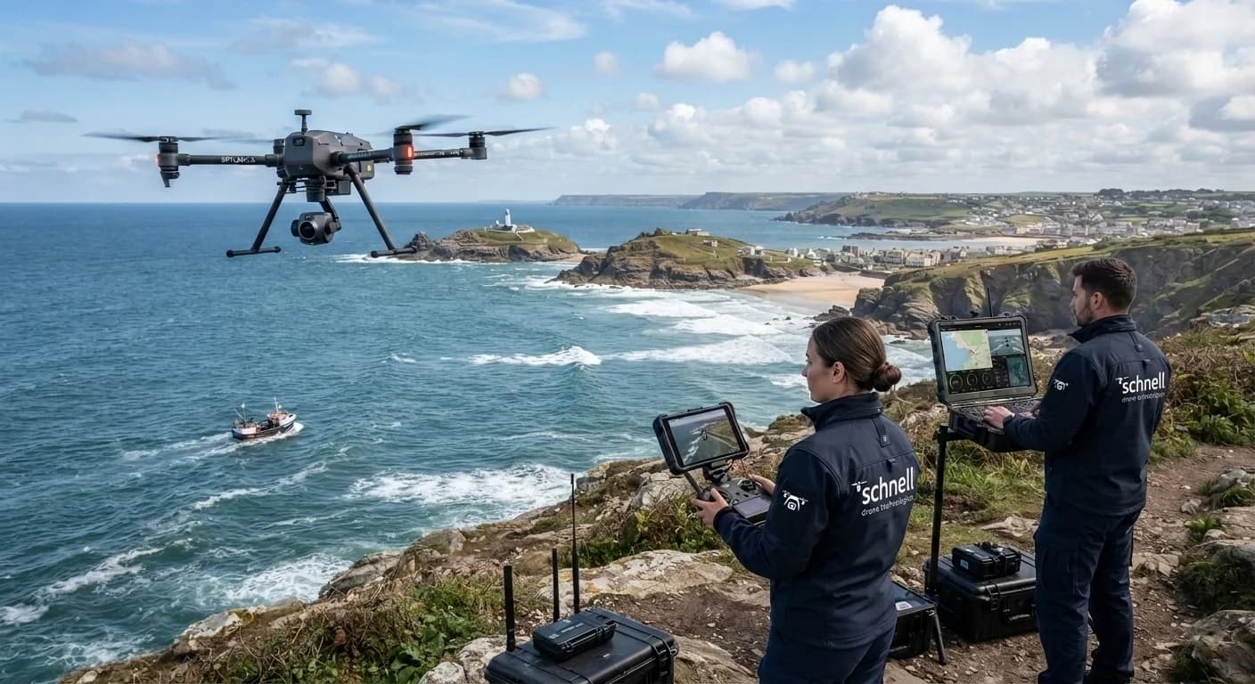
Drone-as-a-Service
India's only drone operator flying daily for surveillance in coastal waters up to 12 nautical miles — supporting Fisheries departments, Coastal Police, the Coast Guard, the Navy and Customs with day and night-thermal evidence.
Only Indian drone company operating up to 12 NM offshore
Fleet of 9 fixed-wing SWITCH UAVs plus multirotors
Day-light and night-thermal payloads
Live feed shared with multiple government agencies
Operational record
Operational figures from daily coastal deployments across the Maharashtra coast.
Flights completed
Daily sorties along the coast
Coastline surveyed
The first daily coastal surveillance programme in India
Flying hours
Logged across day-light and night-thermal missions
Inside the sea
Flights up to 23 km offshore, within territorial waters
1. Overview
Schnell Drone Technologies Ltd. is India's most prominent Drone-as-a-Service company, offering its services across multiple domains. It is currently the only drone company operating in the coastal waters of India, up to 12 nautical miles.
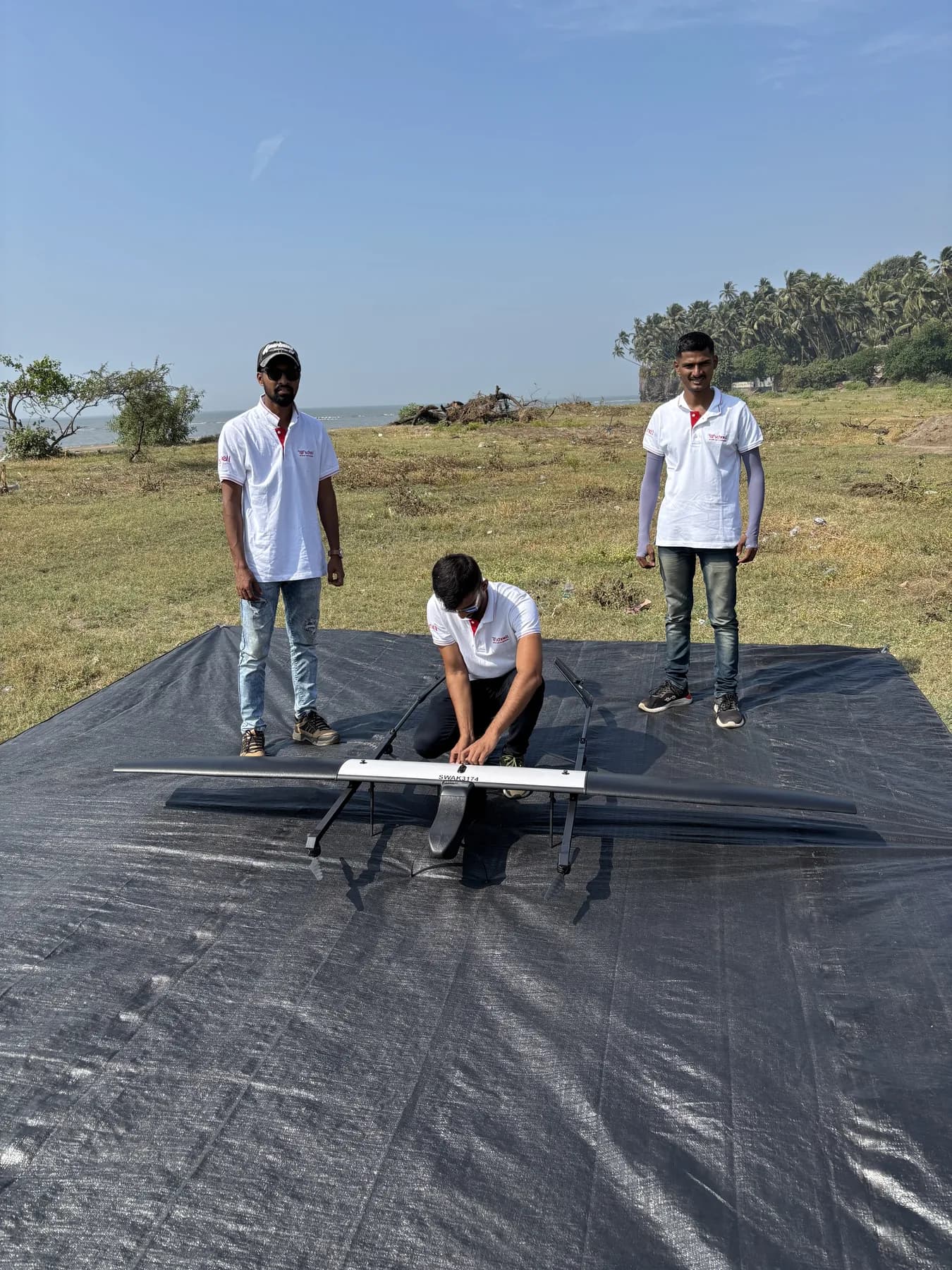
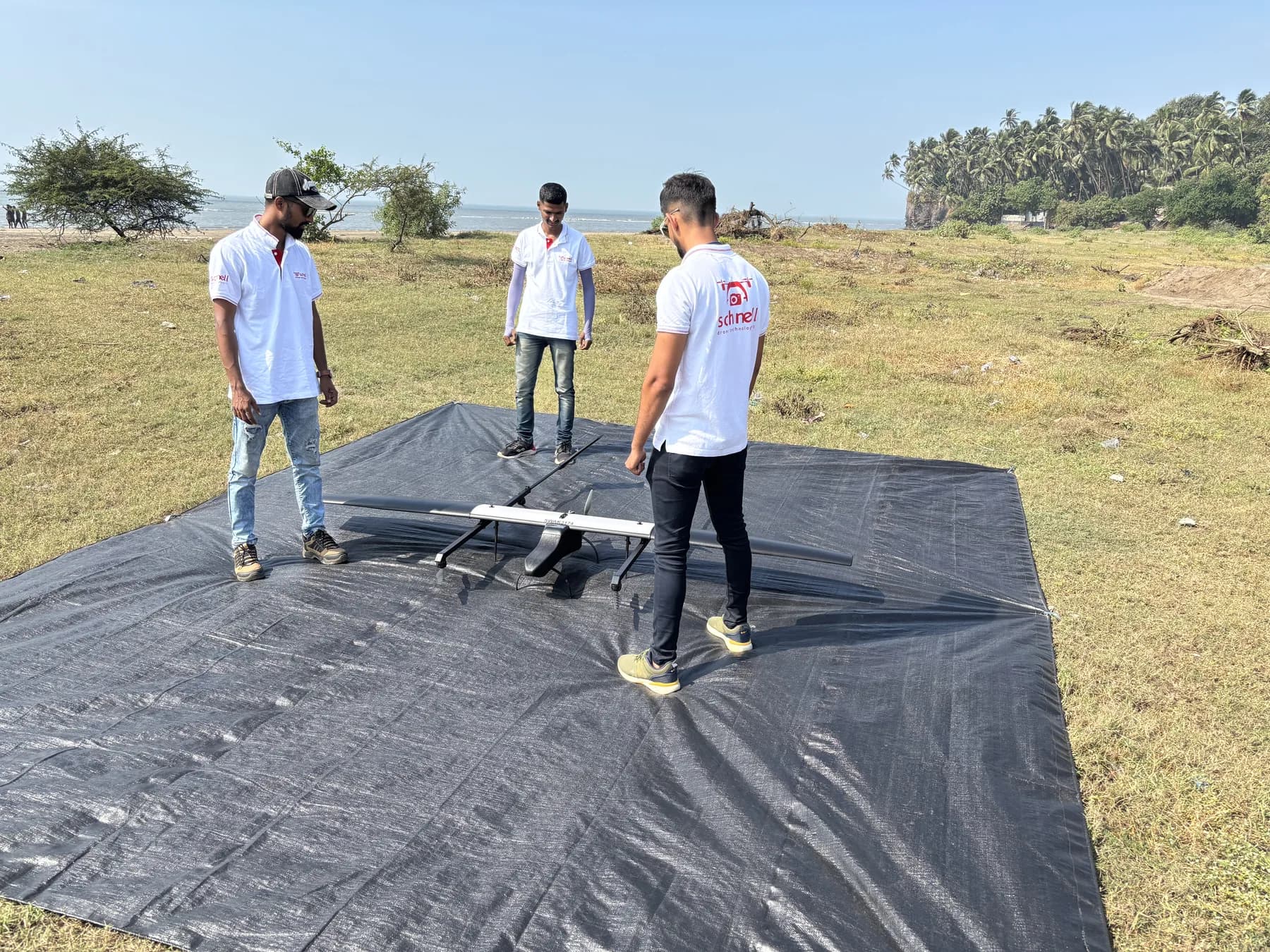
With flights reaching up to 23 km inside the sea, Schnell Drone Technologies is the most experienced player in coastal security and surveillance. The company is currently equipped with a fleet of 9 fixed-wing SWITCH UAVs from ideaForge Technology, plus multiple quadcopters carrying day-time and night-thermal surveillance payloads.
1.1 Fisheries departments
IUU fishing stands for Illegal, Unreported and Unregulated fishing. It encompasses activities like violating closed seasons, catching protected species, misreporting catch volumes, or using banned gear.
IUU fishing accounts for up to 30% of total catches in some of the world's most vital fisheries. It undermines marine conservation efforts, destabilizes coastal economies, and threatens the food security of millions.
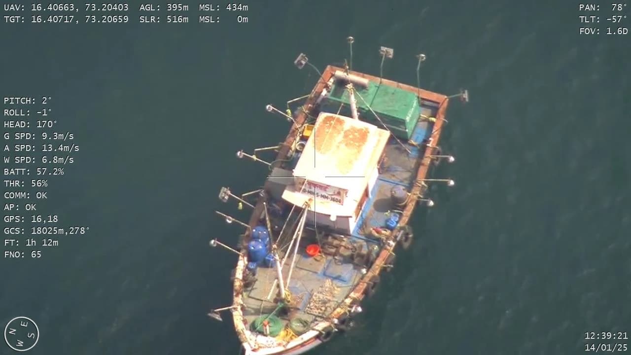
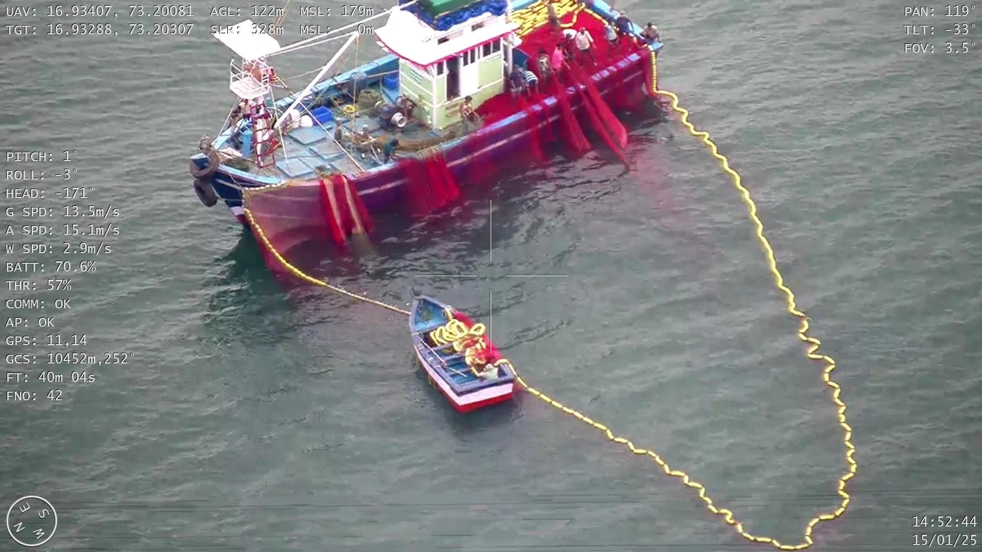
Schnell Drone Technologies Ltd. secured a contract from the Department of Fisheries, Government of Maharashtra to carry out daily surveillance along the 720 km long coast of Maharashtra — identifying illegal fishing vessels within 12 nautical miles from the coast and creating audio-visual evidence using day-light and night-thermal payloads.
LED fishing uses high-intensity light systems or small submerged lamps to attract fish. It is banned across the world to protect marine ecosystems, because it lures and depletes juvenile fish and damages biodiversity.
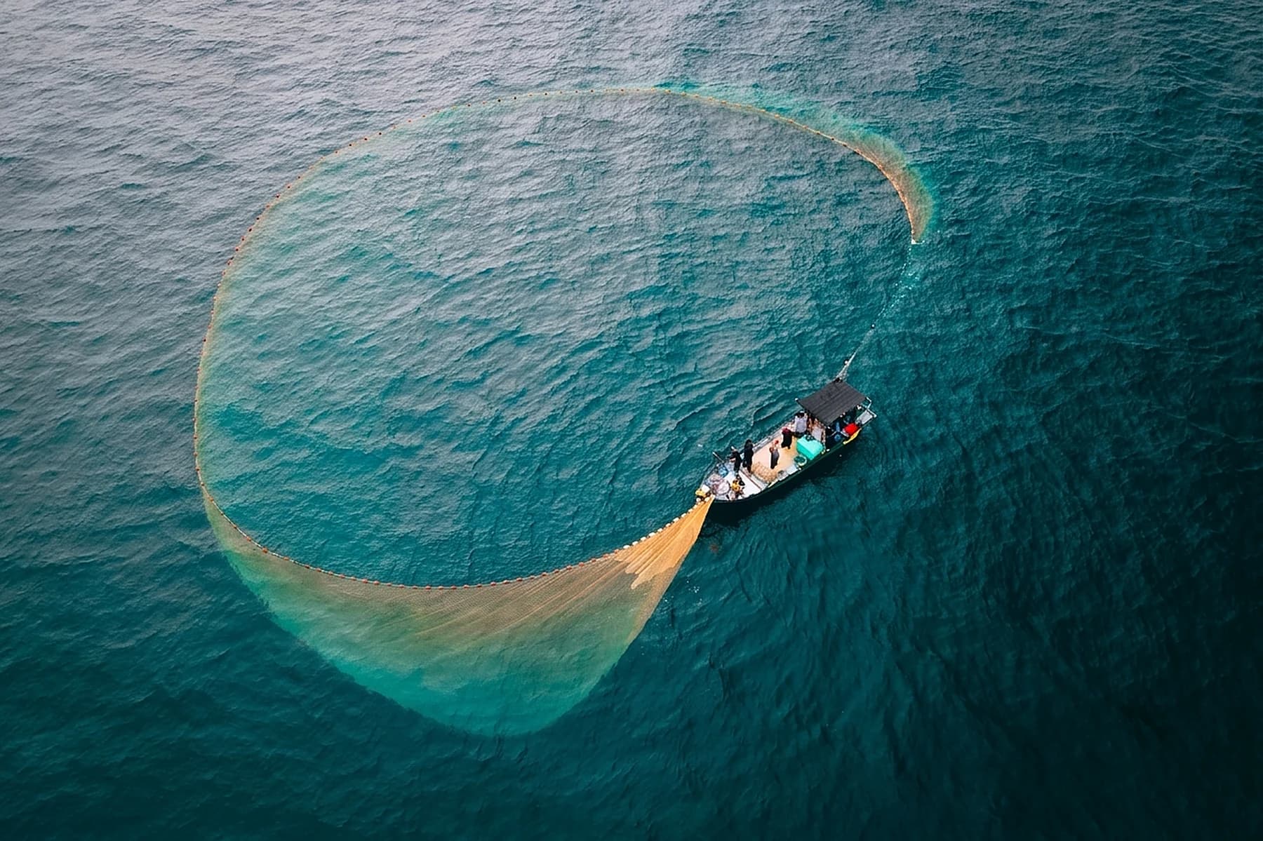
A purse seine is a long wall of netting framed with a floatline and leadline, with purse rings on the lower edge through which a purse line runs to close the net. Purse seine fishing is banned in many coastal areas.
Two large boats pull one giant net between them to catch whole groups of fish. It harms sea life by catching baby fish and damaging the ocean floor, and governments have banned it in many coastal areas.
1.2 Coastal Police, Coast Guard & Navy
Drones can be deployed for effective day and night surveillance in the coastal region and deep inside the sea, monitoring the movement of authorised and unauthorised vessels across each agency's area of responsibility.
| Agency | Jurisdiction | Role |
|---|---|---|
| State Marine / Coastal Police | Shallow coastal areas and territorial waters up to 12 nautical miles from the baseline | Enforces domestic law and order, local policing, and patrols very close to the shore. |
| Indian Coast Guard | Territorial waters (0–12 NM), the contiguous zone (12–24 NM), and the entire Exclusive Economic Zone up to 200 NM | Primary maritime law enforcement and search-and-rescue agency. Handles anti-smuggling, anti-poaching, marine environmental protection and coastal security coordination. |
| Indian Navy | The entire national maritime zone (0–200 NM) and out to the High Seas / International Maritime Boundary Line | Holds overall responsibility for national maritime security, defence of sovereignty and wartime operations. Coordinates joint operations as a net security provider. |
1.3 Customs department
The maritime preventive division of Customs handles anti-smuggling operations, coastal patrolling and vessel inspections at sea using specialised marine wings.
1.4 Search & rescue
Drones improve response time, expand search coverage and reduce risk to rescue personnel. Schnell has assisted the Maharashtra Coastal Police in multiple search and rescue operations in the coastal waters of Sindhudurg, Ratnagiri and Raigad districts.
Cover vast stretches of sea far faster than boats, quickly locating missing swimmers, fishermen or vessels.
Transmit live high-definition video to rescue teams so commanders can assess the situation and coordinate the response.
Optical and thermal cameras identify people in the water even in low light, and pick out life jackets, lifeboats and floating debris.
Drop life jackets, inflatable buoys, flotation devices, first-aid kits or communication equipment to people awaiting rescue.
Guide rescue boats and helicopters directly to a victim using GPS coordinates, and mark the exact location of survivors.
Survey areas affected by rough seas, storms, oil spills or dangerous currents without exposing rescuers to unnecessary risk.
Thermal imaging and infrared sensors allow searches to continue after dark or in poor visibility.
Assess sea state, wave conditions and obstacles before rescue teams enter the area, then monitor the operation as it unfolds.
Serve as a temporary communication relay when normal communication is disrupted or rescuers operate beyond standard equipment range.
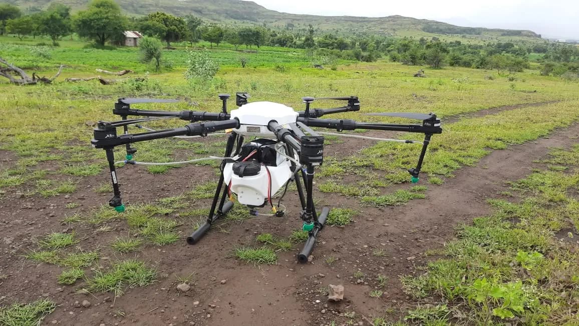
Frames from Schnell's own coastal missions off the Maharashtra coast, and the crew preparing a fixed-wing aircraft before launch.
Tell us the area, the timeline and the reporting you need, and we will scope the mission and the commercials.