
Fine Ltd.
GEO5 Geotechnical Engineering Software
A suite of geotechnical programs covering foundations, retaining structures, slope stability, settlement, tunnelling and digital terrain modelling.
Modular — licence only the programs you need
Analytical and finite element methods
Supports international design standards
Integrates with drone-derived terrain data
Geotechnical analysis, module by module
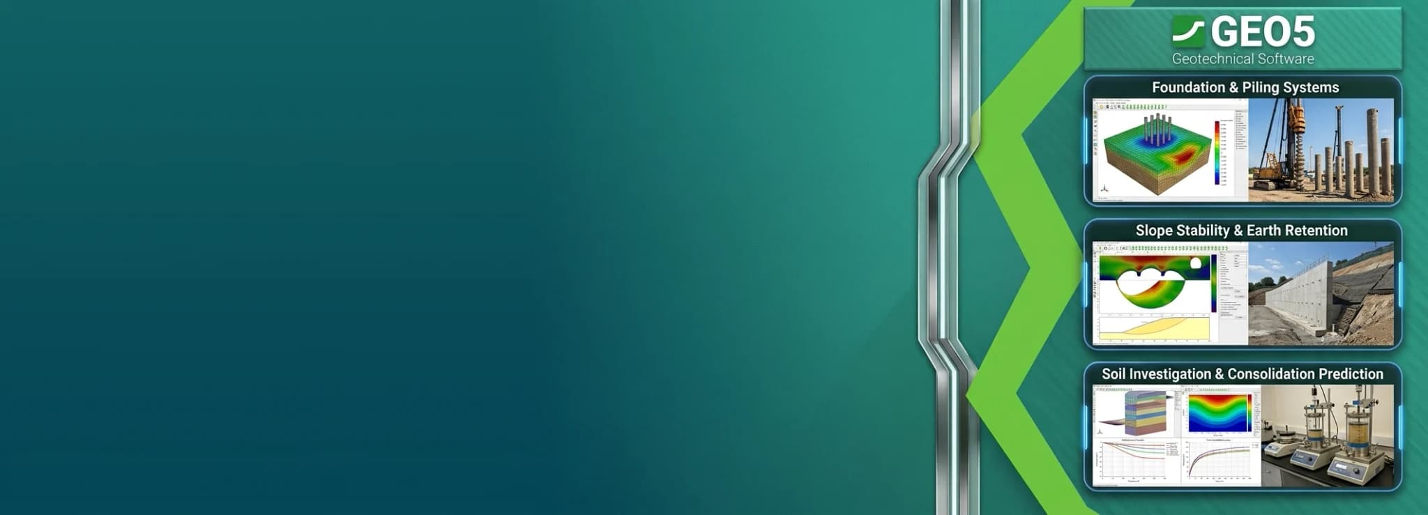
GEO5 is a suite of programs for geotechnical analysis in which each program solves a specific problem — shallow and deep foundations, retaining structures, slope stability, settlement, ground improvement, tunnelling and digital terrain modelling.
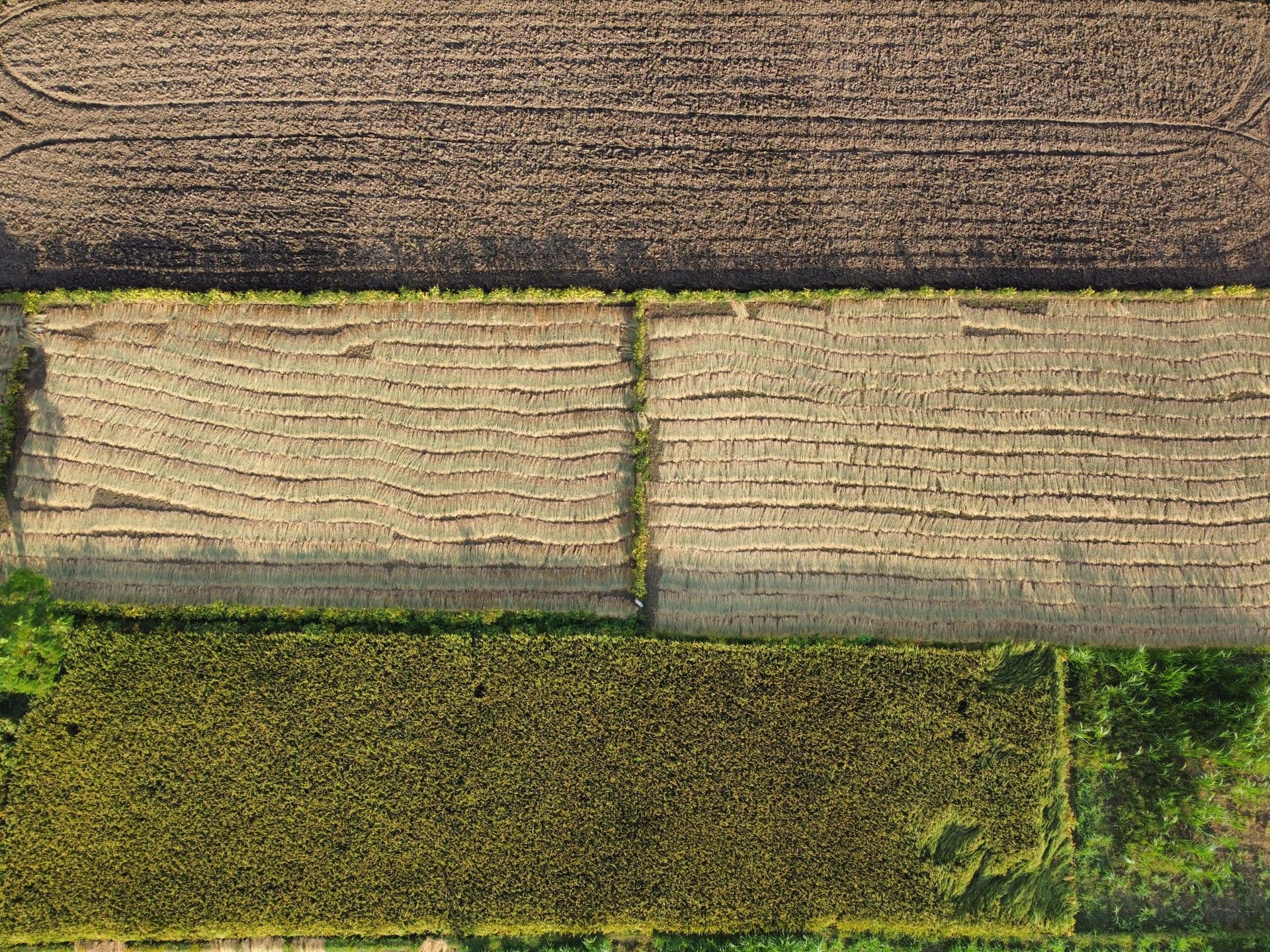
The modular structure means an organisation licences only the programs its work actually requires, and the terrain modelling module accepts survey data captured by drone.
Analysis areas
Foundations
- Spread footing design
- Pile and pile group analysis
- Settlement analysis
Earth retention
- Cantilever and gravity walls
- Sheeting design and verification
- Anchored structures
Ground & terrain
- Slope stability
- Digital terrain modelling
- Tunnelling and rock stability
Licensing GEO5 Geotechnical Engineering Software
Send us your seat count and deployment details for a quotation, and ask about training and technical support in India.