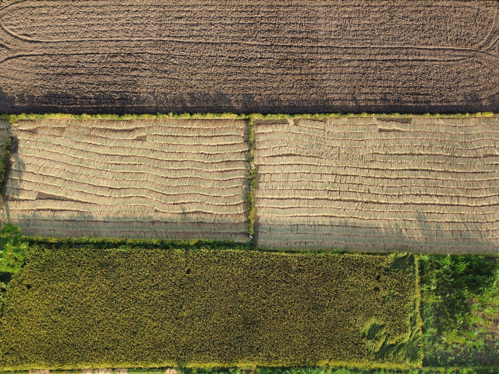
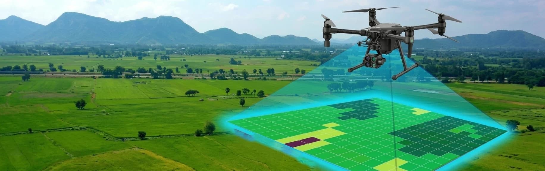
Ortho-rectified imagery (ORI)
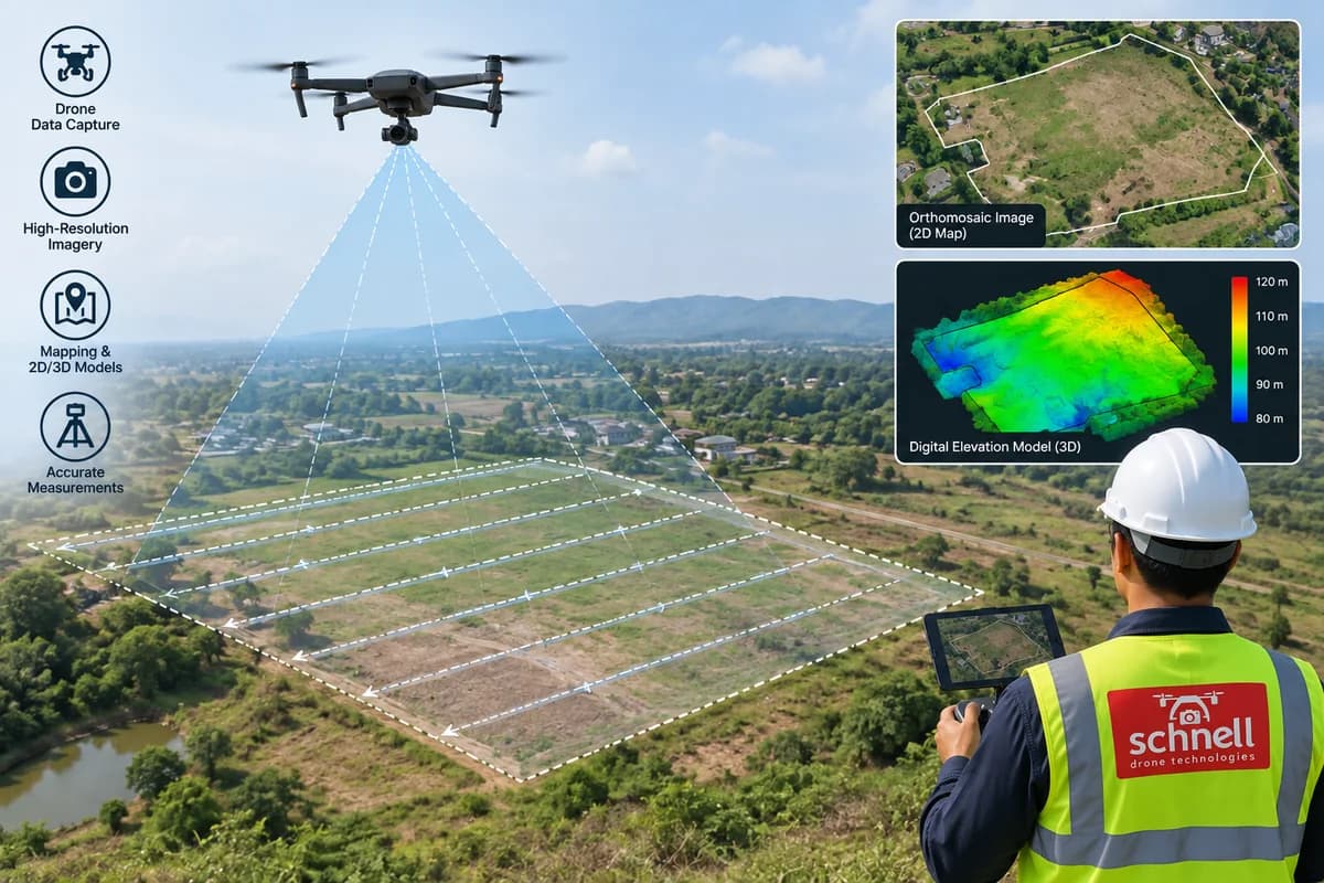
Drone images are processed using photogrammetry software such as Agisoft Metashape to create high-resolution ORI. It supports digitisation of point, line and polygon features, is used in legal proceedings and court cases, and enables inspection of encroachments, flooded regions and deforested areas.