

Case study · Coastal surveillance
Drone-Based Surveillance to Identify IUU Fishing Along the 815 km Coast of Maharashtra
Nine UAVs at nine coastal locations, flying daily up to 12 nautical miles offshore for the Department of Fisheries — 10,000+ flights over 18 months and 3,300+ illegal, unreported and unregulated fishing vessels identified with aerial evidence.
- Client
- Department of Fisheries, Government of Maharashtra
- Sector
- Fisheries governance & coastal enforcement
- Duration
- 18 months, ongoing
- Coverage
- 815 km Maharashtra coast, up to 12 NM offshore
- 9Coastal locations
- 18Months operational
- 10,000+Drone flights
01 · Challenge
Policing a prohibition you cannot see from the shore
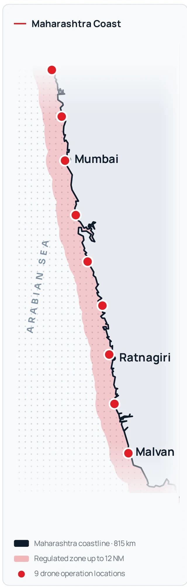
Maharashtra's extensive coastline requires continuous surveillance to monitor fishing activities within its territorial waters up to 12 NM. Purse seine and LED fishing are prohibited within 12 nautical miles of the Maharashtra coast, which makes effective identification of vessels engaged in prohibited fishing activities essential.
IUU — illegal, unreported and unregulated — fishing can contribute to:
- Overfishing and depletion of marine resources
- Capture and depletion of juvenile fish
- Increased competition with traditional fishermen
- Potential damage to marine ecosystems
- Conflicts among fishing communities
Conventional surveillance methods can be resource-intensive and challenging across large coastal areas, creating a need for faster, scalable and technology-enabled maritime surveillance.
02 · Technology
Drone-based maritime surveillance
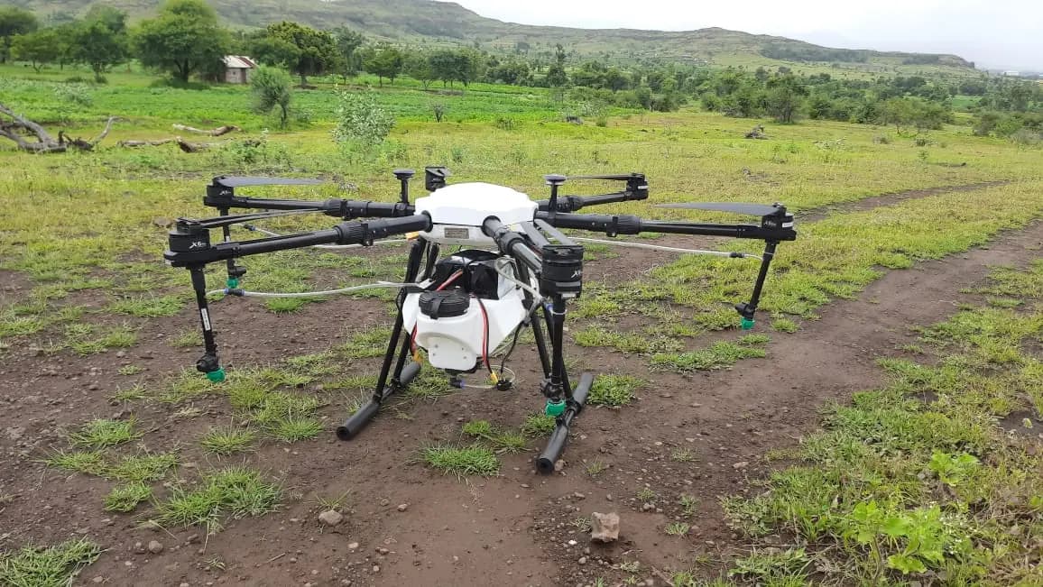
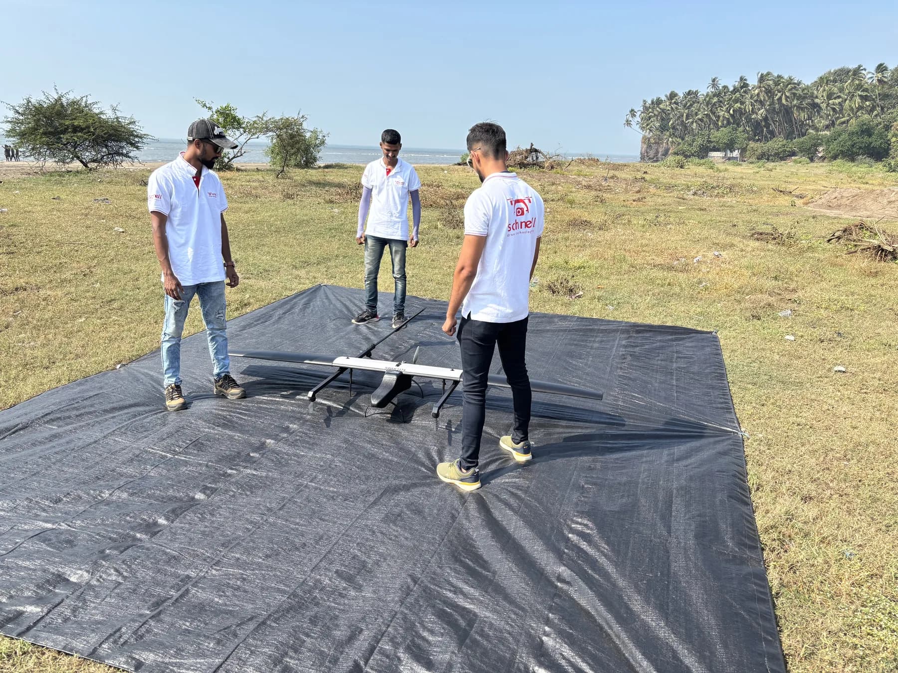
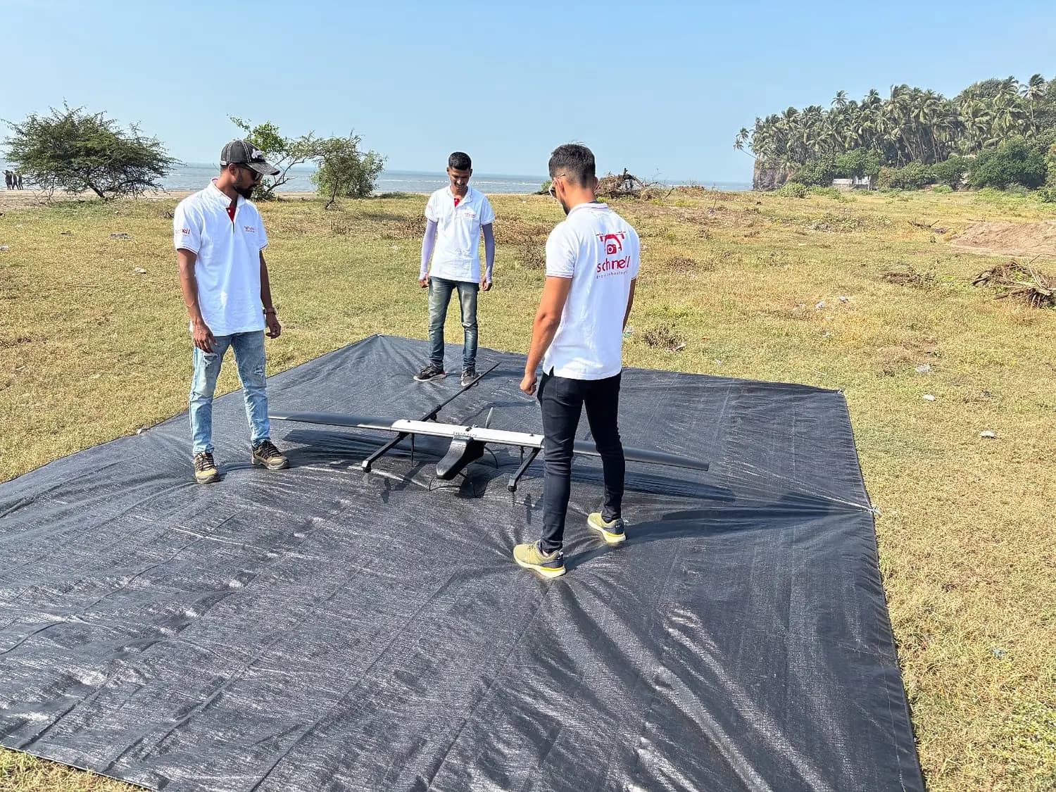
Schnell Drone Technologies Ltd. has deployed SWITCH UAVs from ideaForge Technology to provide regular aerial surveillance support to the Department of Fisheries.
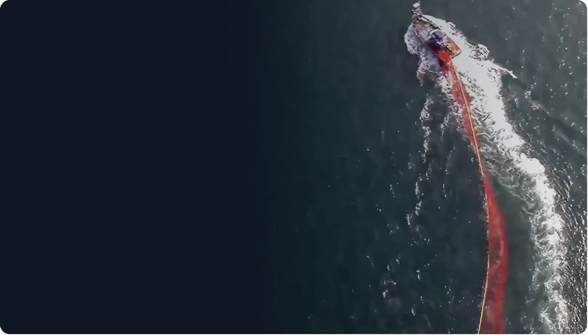
The UAVs provide an aerial perspective that complements conventional coastal surveillance and enables rapid identification of vessels requiring further verification or enforcement action.
- 1
Aerial reconnaissance
Fixed-wing UAVs sweep the regulated zone from launch sites along the coast, covering water that a patrol boat would take hours to reach.
- 2
Vessel detection
Craft operating inside the 12 NM line are picked out of open water from the air.
- 3
Visual identification
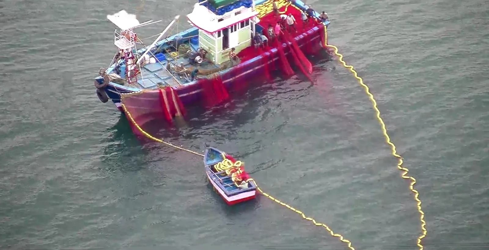
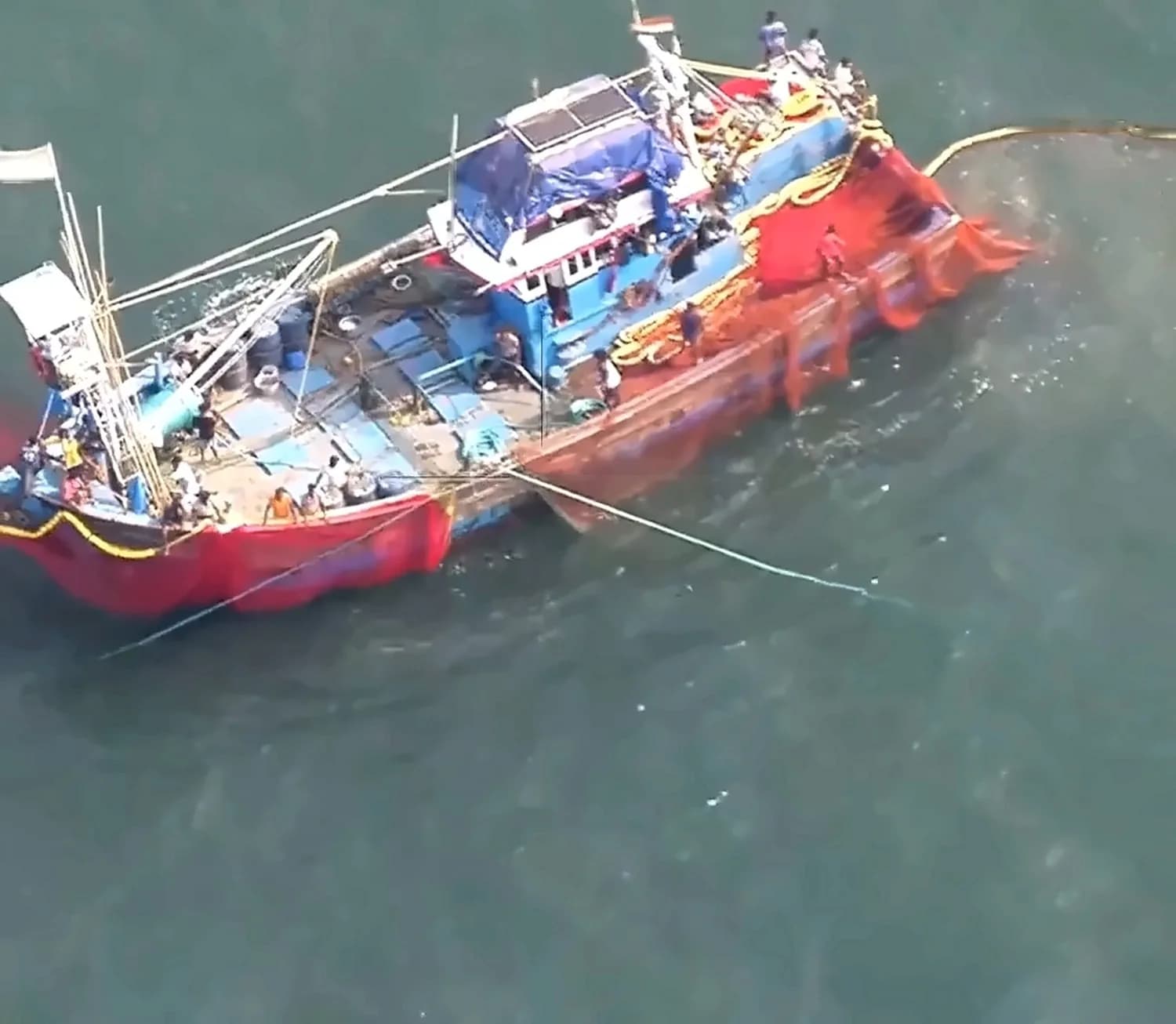
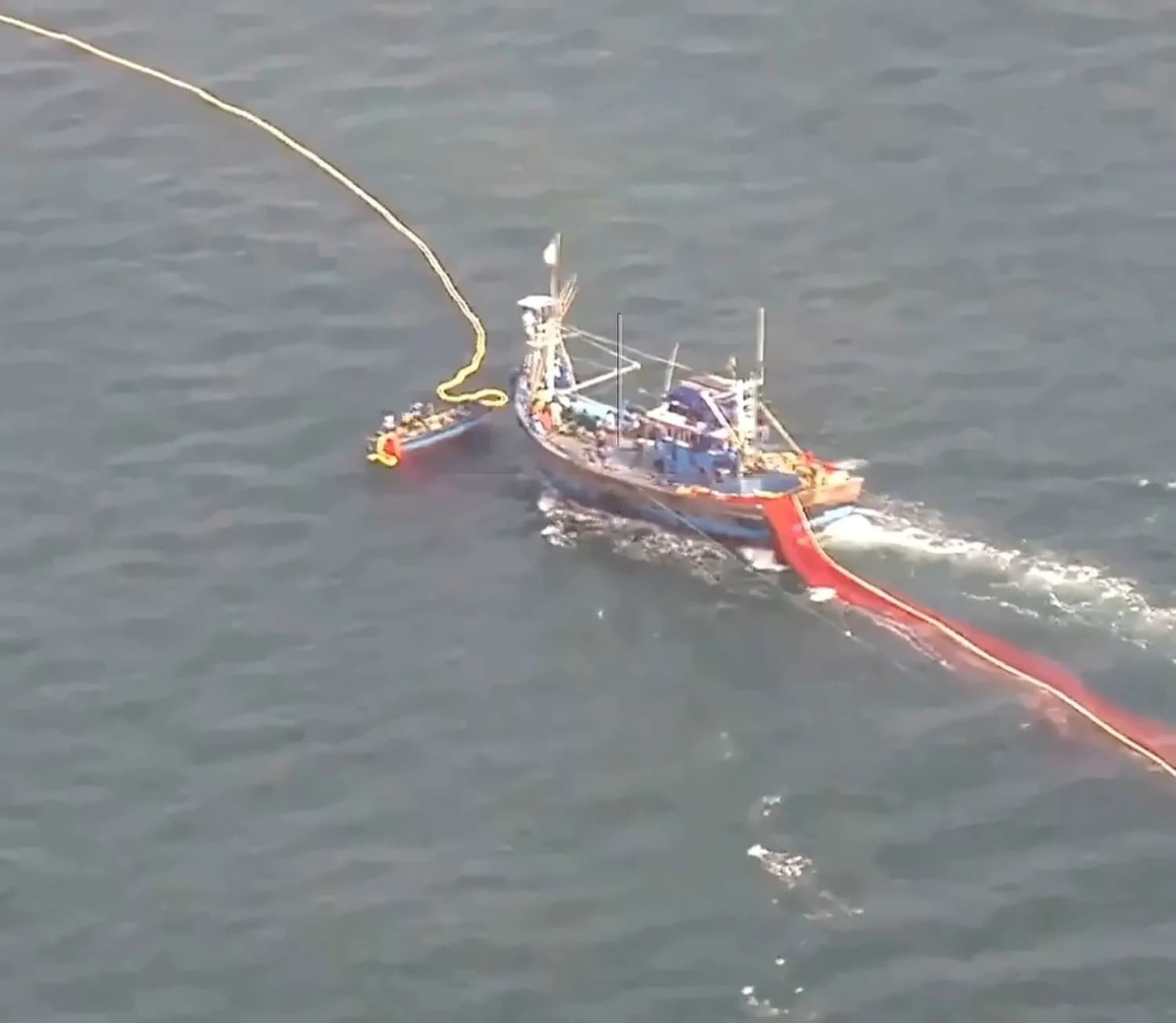
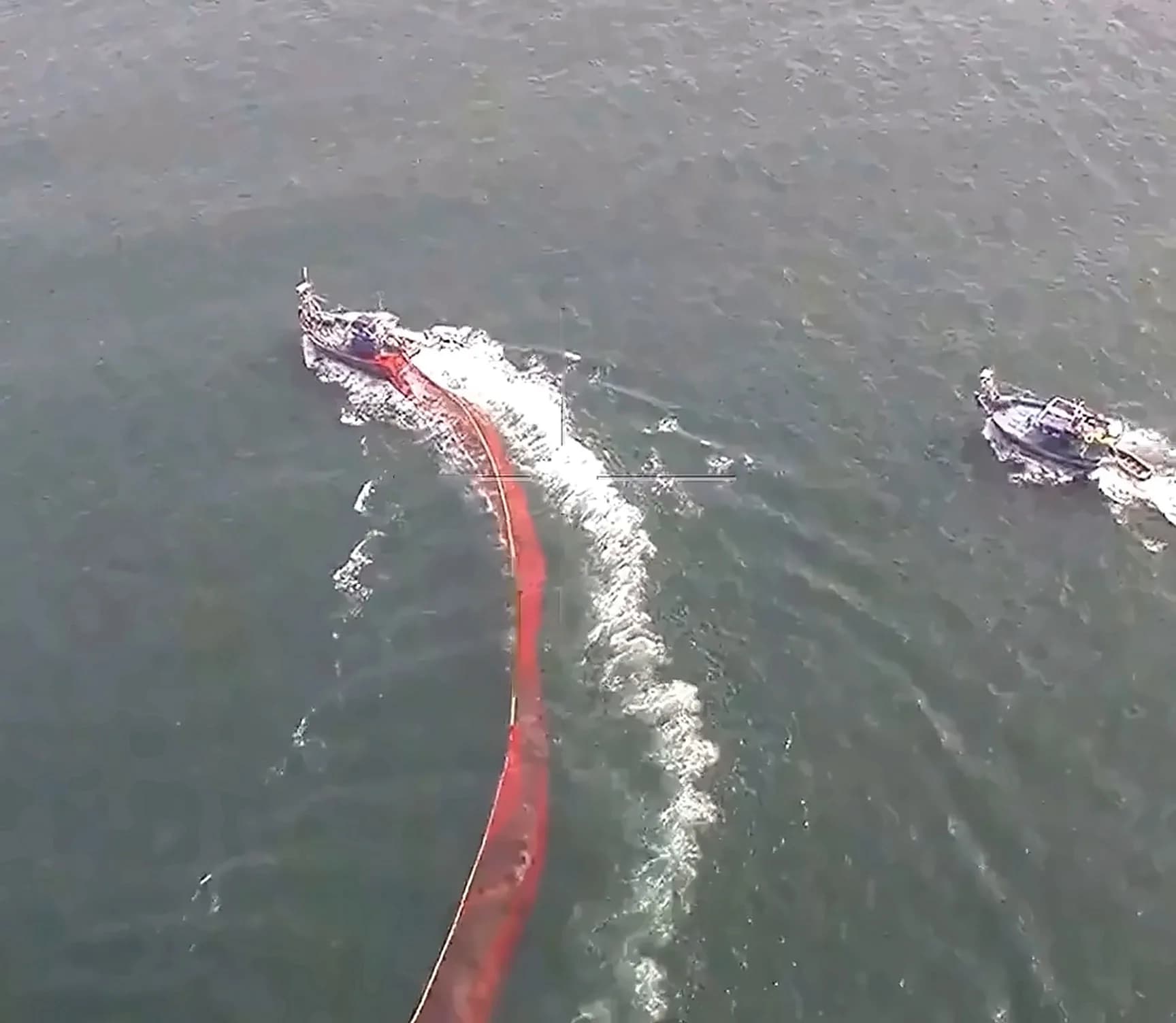
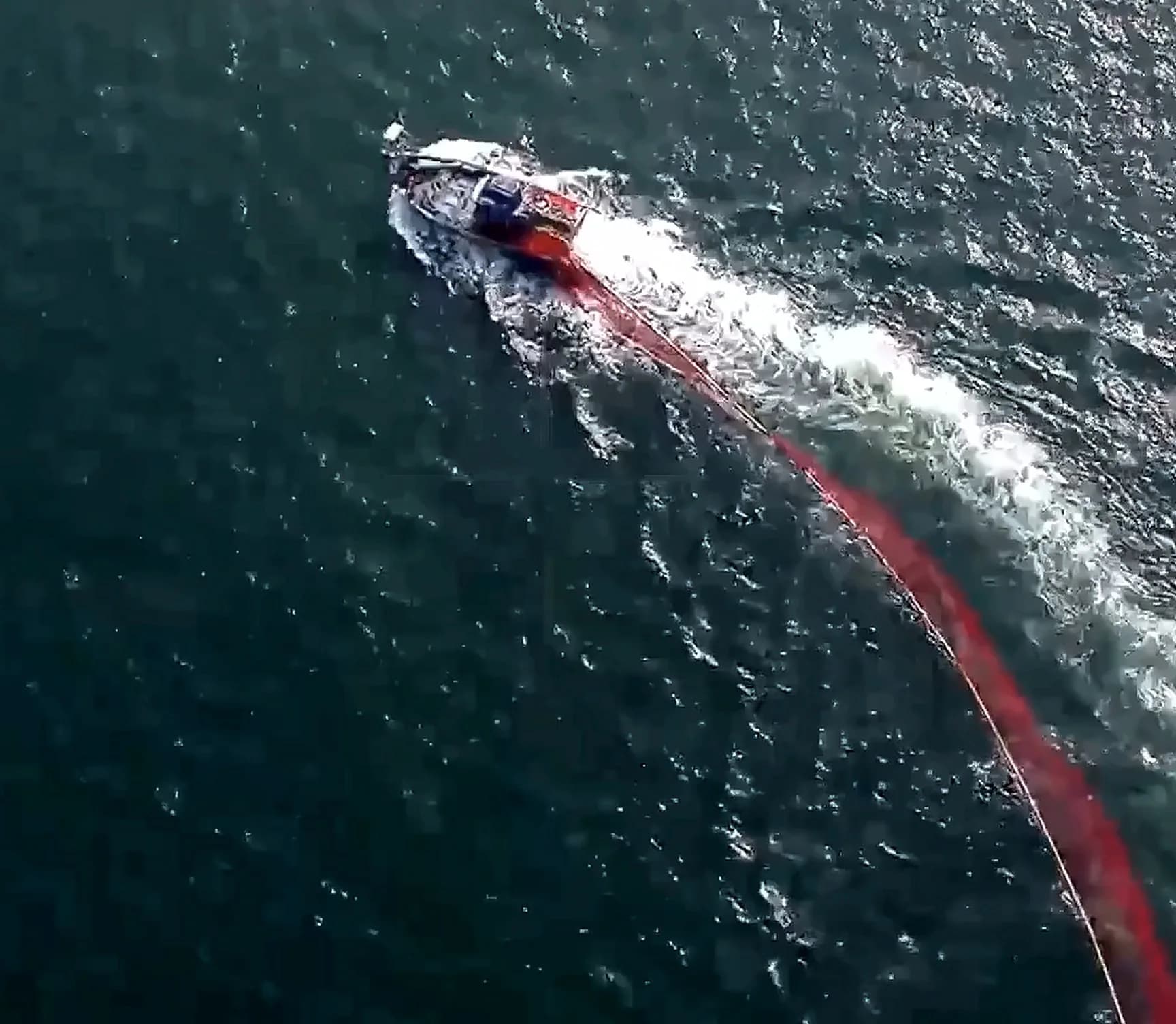
The camera resolves gear and deck activity closely enough to tell a purse seine or LED rig from permitted fishing.
- 4
Location & evidence capture
Position and imagery are recorded together, so a sighting carries the coordinates that place it inside the prohibited zone.
- 5
Actionable intelligence
The Department of Fisheries receives identified vessels with supporting evidence, ready for verification or enforcement action.
Evidence pack to Fisheries
What the camera sees
03 · Operations
9 UAVs. 9 strategic locations. Daily surveillance.
Schnell Drone Technologies has established drone operations at 9 different locations along the Maharashtra coastline, enabling sustained surveillance coverage.
Schnell Drone Technologies carries out multiple flights of each drone every day in the maritime region. The sustained operational deployment demonstrates the scalability of drones as an effective tool for regular fisheries surveillance and coastal enforcement support.
Over an 18-month operational period
10,000+
Drone flights
Within the maritime region, up to 12 NM
3,300+
IUU fishing vessels
Identified, with evidence created
04 · Impact
Technology supporting sustainable fisheries and coastal governance
The project is helping create a technology-enabled surveillance mechanism for identifying potentially prohibited fishing activity within regulated coastal waters. Key outcomes include:
Faster identification of suspicious fishing vessels
Technology-enabled support to fisheries enforcement
Improved monitoring of the 12 NM regulated coastal zone
Support for protection of traditional fishing communities
Strengthened coastal fisheries governance
Alongside those outcomes, the deployment has created an operational model for large-scale drone-based surveillance — a template for running sustained aerial coverage of a long coastline rather than a one-off survey.
First-of-its-kind
A landmark application of drones for fisheries surveillance
This first-of-its-kind project demonstrates how UAV technology can move beyond conventional mapping and surveying applications to address real-world maritime governance and fisheries-management challenges.
05 · Recognition
₹10 LakhFirst prize
First Prize — Rajiv Gandhi Prashaskiya Gatimanata Abhiyaan 2026
The Drone-Based Surveillance Project received the First Prize with an award of ₹10 lakh under the Rajiv Gandhi Prashaskiya Gatimanata Abhiyaan 2026 by Government of Maharashtra, recognizing its contribution to technology-enabled public administration and innovative governance.
Project at a glance
The deployment in numbers
9
UAVs
Deployed
9
Coastal locations
Covered
10,000+
Drone flights
Completed
18
Months of operations
Operational
3,300+
IUU fishing vessels
Identified & evidence created
₹10 Lakh
First prize award
Government of Maharashtra
Take the full case study with you
The complete document, as issued — every figure on this page, with the project photography at full resolution.
Planning a deployment of this kind?
Tell us the area, the timeline and the reporting your department needs, and we will scope the mission and the commercials.